


Why is it called the Caminito del Rey?
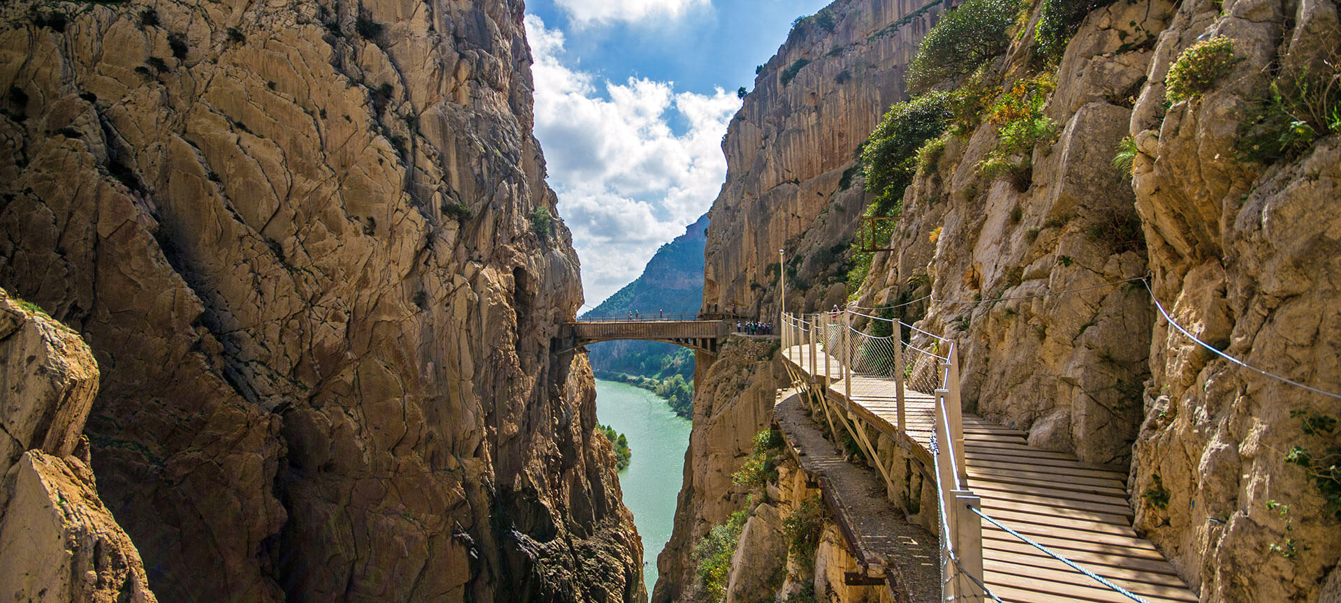
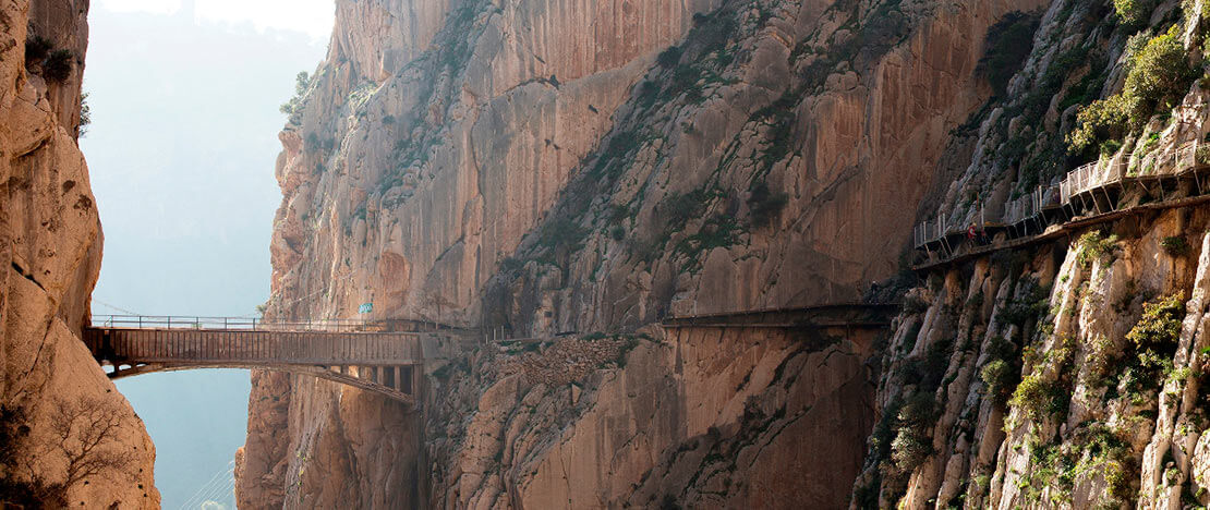
The origins of this unique ‘aerial’ walkway, which hangs from the gorge’s walls at a height of around 100 metres, date back to the early 20th century. It was built between the Gaitanejo and El Chorro waterfalls to facilitate the transport of materials and the movement of maintenance workers at the local hydroelectric power station. In 1921, King Alfonso XIII officially opened this magnificent structure by walking along the path to the Conde de Guadalhorce dam, and from then on the route became popularly known as the ‘Caminito del Rey’.
What’s the route like?
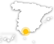
The route is linear and follows a one-way downhill path, from north to south, partly along footpaths and partly along walkways. The route is 7.7 kilometres long and takes approximately 3 to 4 hours to complete, from the starting point in the municipality of Ardales to the finish in the town of Álora. The reception area at the start of the route features a restaurant and several parking areas, and is also the final stop on the shuttle bus service linking the north and south entrances to the route.
From this point, the two footpaths lead to the checkpoint and the Gaitanejo dam, the starting point of the official Caminito del Rey route. The longest route is 2.7 kilometres, starting from the ‘Sillón del Rey’ – a set of stone benches, a table and an armchair that were used by Alfonso XIII – or via the tunnel right next to the restaurant. The other trail is shorter: it’s 1.5 kilometres long and starts through a smaller, pedestrian-only tunnel located about 200 metres before you reach the restaurant.On arrival at the checkpoint, visitors are handed a safety helmet and their footwear is checked to ensure it is suitable. From the viewpoint at the Gaitanejo Dam, you can see the cave dwellings of Sierra Parda, which were used as homes by the staff working at the hydroelectric power station. After reaching the footbridges, the route continues through the Gaitanejo Gorge and the canyon known as the Tajo de las Palomas, where the Puente del Rey bridge is situated. Step by step, the landscape changes as you approach the Hoyo Valley with its lush forests.
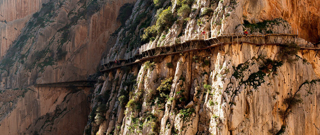
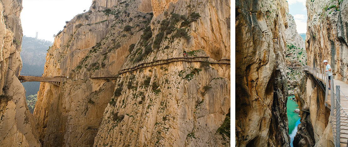
The path then enters the spectacular Gaitanes Gorge via the ‘suspended’ walkways, which are more than 100 metres high. Along this stretch, you can see, among other wonders, a hundred-year-old juniper growing among the rocks, the so-called ‘fossil beach’ where several Jurassic fossil footprints are preserved, or step out onto the glass balcony jutting out from the walkway – an experience that really puts visitors’ fear of heights to the test. The trail heads towards its final stretch: after handing in your helmets at the checkpoint, you’ll set off on a 2.1-kilometre downhill walk to El Chorro railway station.There is also the option of crossing the 110-metre suspension bridge, situated just before the area around the iron railway bridge and the El Chorro tunnel. This spectacular walkway, suspended 50 metres above the ground, is the longest in Spain and saves visitors almost a kilometre of descent at the end of the route.
Planning the return journey
As this is a linear, one-way route, once you have completed the walk, you will need to add the time taken to return to the starting point (approximately one hour), so it is advisable to plan your timetable and distances carefully.
If you’re arriving by car, it is best to leave your car in one of the designated car parks and return to it later, using the shuttle buses that run between the north entrance near the Guadalhorce reservoir (Ardales) and the southern entrance at El Chorro railway station (Álora), in both directions. The other option is to walk back, although in this case you’ll need to take into account factors such as daylight hours, depending on the time of year and the weather, as it’s quite a few kilometres along a narrow country road.If you’re arriving by train, you’ll need to take the shuttle buses from El Chorro-Caminito del Rey railway station to the north entrance to start the walk, so you’ll need to factor in that time as well. However, once you’ve finished the Caminito, you won’t have to worry about anything other than getting on the return train.